Organic Maps: Hike Bike Drive v2025.09.15-18 – The best maps for outdoor activities like hiking, biking, and driving
Available for Android and iOS devices
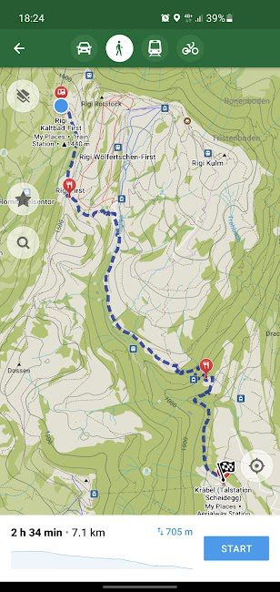
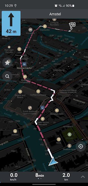
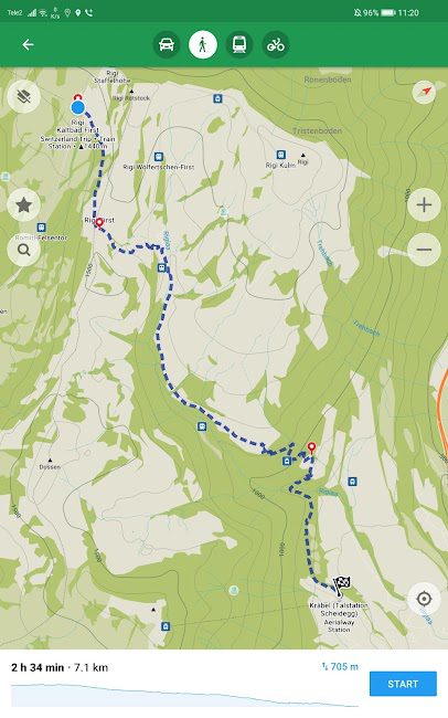
Organic Maps: Hike Bike Drive is a free and open-source app that provides detailed maps for outdoor activities such as hiking, biking, and driving. It is available on both Android and iOS platforms and offers the ability to view and download maps for offline use. The app is designed to be user-friendly, allowing users to easily find points of interest and navigate through various terrains. Users can also create and share their own routes, which makes it a great tool for both casual explorers and serious adventurers. The app is designed to work seamlessly with GPS devices and can be used for navigation in remote areas without an internet connection. It features a variety of map styles including topographic maps, cycling maps, and hiking maps, making it suitable for a wide range of outdoor activities. The app also includes features such as offline map downloads, route planning, and the ability to import KML, KMZ, and GPX files.
Here are some key features of Organic Maps: Hike Bike Drive:
- It provides detailed offline maps that can be used without an internet connection.
- The app allows users to create and share routes with friends and family.
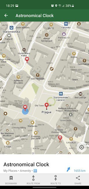
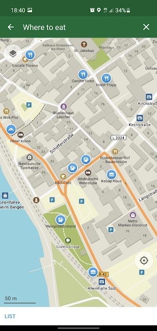
- Users can easily find points of interest such as campsites, restaurants, and attractions.
- It supports importing KML, KMZ, and GPX files for advanced users.
- The app is regularly updated with new features and improvements.
- It is available for both Android and iOS devices.
Overall, Organic Maps: Hike Bike Drive is a great tool for outdoor enthusiasts who want to explore nature and discover new places. It offers a user-friendly interface and a wide range of features that make it easy to navigate and plan outdoor adventures. The app has received positive reviews from users, with an average rating of 4.5 out of 5.0 for its usability and functionality. For more information, you can download it from Apkopia.

-
Version changes 2025.09.15-18
• OSM data as of September 13
• Show Postcode/zip code for addresses
• New roundabout icons in Android Auto
• Removed minor islands from the World map
• Fixed wrong map centering around the current position
• Bookmark colors are preserved in GPX
• Lighting shops
• Draw national park borders
• Draw archaeological sites from zoom 12 in outdoor mode
• Show campsites and caravan sites in navigation mode
• Fixed secondary highway color in navigation mode…more at omaps.org/news


Rules for sending comments
ClosePost a comment
Related
0